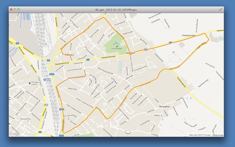
Gpx File
Advertisement
Grazer v.2 1
Grazer synchronizes GPX track files with images. It tells you where you took the image by analyzing when you took it. Grazer takes a GPX file and reads all elements of wptType, rteType and trkType from a specified file.
GPSResults v.6 96
The GPSResults program can be used to calculate and evaluate the track-velocities from measured GPS-data. First of all the data (trackpoints) have to be read from your GPS, transferred to your computer, and saved as gpx-file.
GPXFlash v.1.4.3
GPXFlash is a tiny GPX-File parser, also shows the contained GPS-Tracks on a Google Map using the Google Maps Flash-API and draws Height-Profiles of the Tracks.Requirements: * Adobe
GoMapGen v.1.2
Create google maps with this program. GoMapGen (GOogle MAP GEnerator) generates a google map from a gpx file and places photos taken by an external camera where they were taken, by comparing gps points time with picture time.
GCStatistic v.1.9.3
Create customizable statistics from a gpx file with this utility. GCStatistic is a small software started some time ago as a personal tool as all the applications on the market aren't available in a native version for MacOS X.
DTmatrix v.1.2
Create D/T matrices with this tool. DTmatrix display caches included in a gpx file in a D/T matrix. Basically all that you have to do is select the GPX file and let this tool take care of the rest.Requirements: * In order to use this software you

Workout Tracker (Free) v.1.0.0.0
Workout Tracker uses your phone's Location Services to track you during your hikes, cycling, running, jogging, or any other activity. The program includes graphing, mapping, using a standard formatted GPX file.
WintecGPXLoad v.1.0
WintecGPXLoad downloads the actual GPX File from the Wintec WBT-100 and saves it in the 'results' folder inside the program folder.
FotoFind v.0.1
FotoFind lets you add location information from a GPX file directly to iPhoto.

EdiTrail v.1.0
Create/Edit/Display/Management/Import/Export Trails/Routes in a simple and flexible environment divided in a data table for the management of trails and a map resulting from numerous providers, (Bing, Arcgis, Ovi, Yahoo, etc).

